
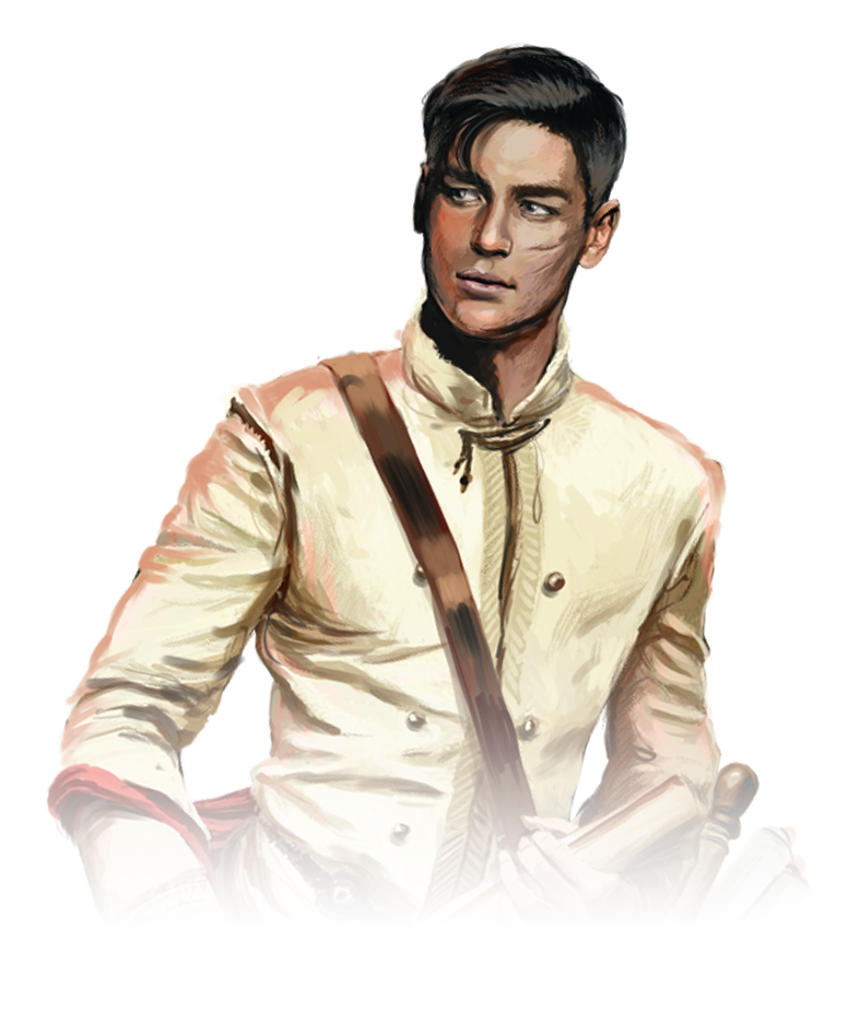
In Pont-de-Lilac it is said that there is no riddle that Linnamèn couldn’t solve. The death of the royal family, however, his own family, is a different story than a pervert kidnapping young girls. Linnamèn has long been absent from the palace. Too long.
He talked to everybody about everything – he talked politics with servants, religion with the lords and palace cuisine with the priests. It seemed he could find common ground with anyone, from the youngest butler’s helper to the highest priest.
UNIVERSE
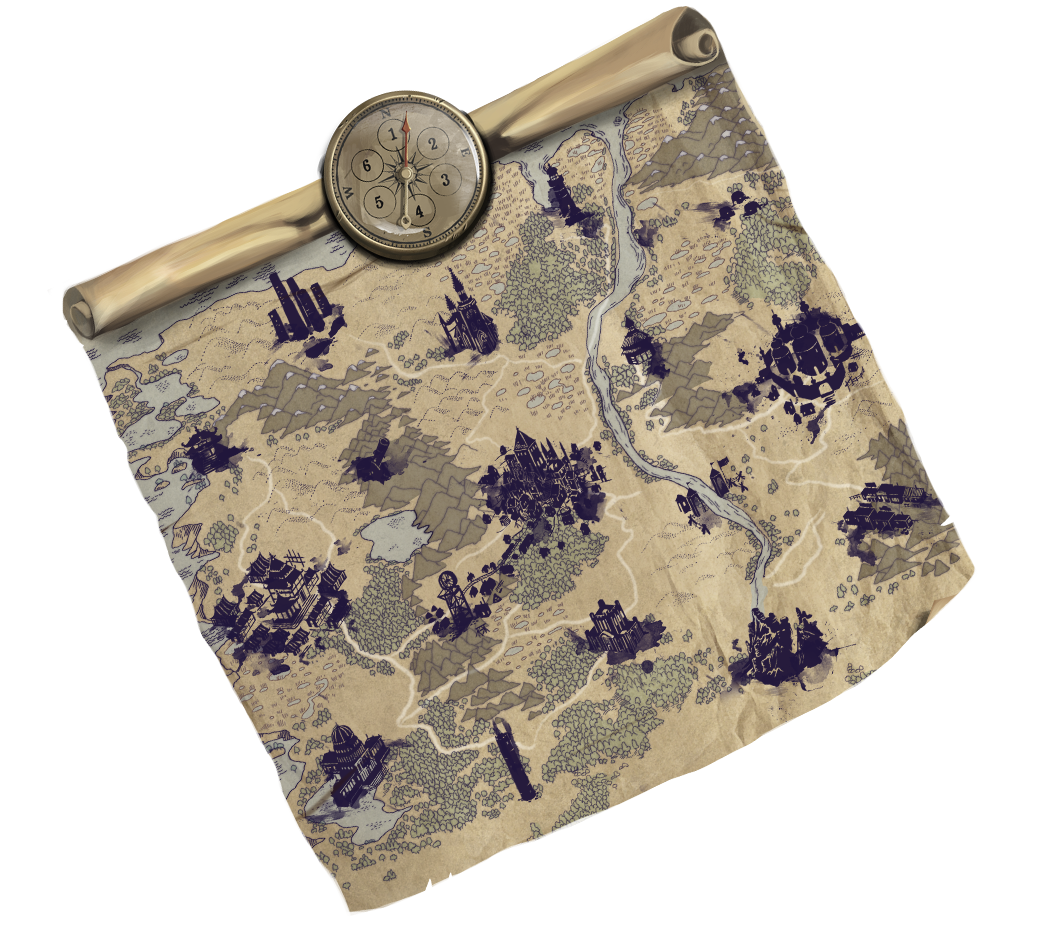
‘What is beyond the wasteland?’ I asked.
‘Nothing, my child,’ she replied. ‘This is where our world ends.’